Road Maps of Vietnam
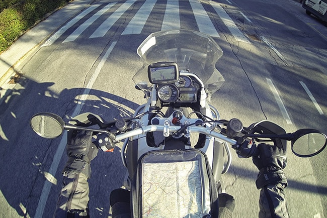
Maps are an important planning tool that should be used for every trip. Everyone has their own preferred method of mapping whilst on tour. You may like to use Google Map, Waze, In Route, Apple Maps or Maps.me. There are pros and cons of all of these. However, for all of them it can be hard to visualize a route in total, when you are planning and this is where paper maps come in.
With paper maps you can lay out the route in front of you and you and mark it on the map. This gives you a better feel for where you will be going for the whole trip and also day by day. You may also find that your intended route has a small error that you want to change.
Instructions for Use
These maps are quite simple to use. There are one or two useful things to note.
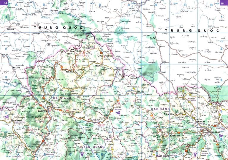
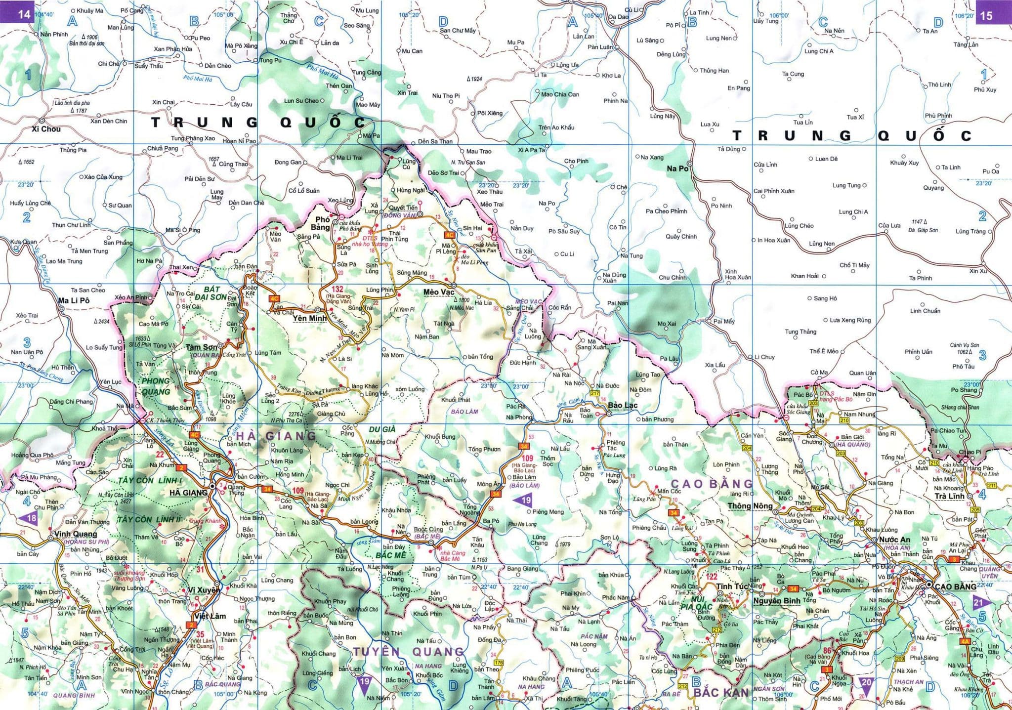
Very often you can use just one page of the map to plan most of your trip.
For example here, if you wanted to drive around Ha Giang province and do ‘the loop’ and then over to Cao Bang, it would be possible.
Note: you would need the next page, if you wanted to see the route to Ban Gioc Waterfall.
However, if you wanted to take a trip south from Hanoi to Danang or Hanoi to HCMC, you would need to use several pages of the map.
The two maps below show the route from Hanoi, over to Pu Luong and then down onto the HCM Highway to head south towards Danang.
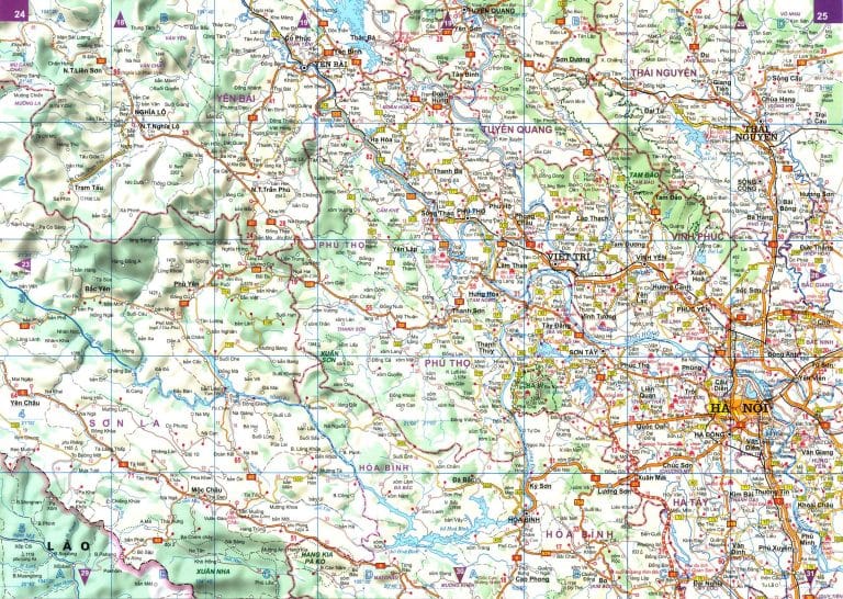
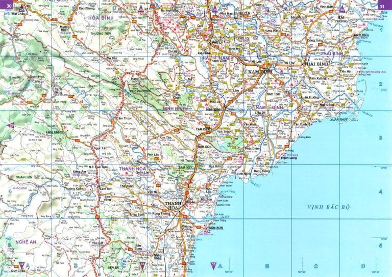
You can see that these two map pages are connected by the purple arrows showing which number page to go to next. If your route continues off the map page you are reading, then go to the corresponding page indicated by the arrow.
Calculating Distance
You will see that there are lots of red dots on the map which are connected to white dots or to an X (both of which mark a location on the road or a landmark) the red number between these two red dots is the distance.
To be honest, this is a little tricky and time consuming to work out and I would suggest using Google Maps to get an idea of the distance.
Calculating Time
Distance can be useful when preparing for the day in general, but more importantly would be the time taken to travel. Time taken is dependent on: distance, type of road, type of terrain, weather and personal preference. Once all these factors have been taken into account, it is possible to ‘guestimate’ the time taken. We always suggest calculating an average of 40km/h over the day and then add time for lunch.
Using Google
Lots of people like to use Google when they are travelling or touring. In fact, we have a tonne of Google maps on the site, showing all kind of things.
One of my favourites is the one below: How to get to Mai Chai – 10 amazing detours You can use this in conjunction with a paper map. Another thing to stress is that you can use this in normal mode if you are following main roads. However, if you are going a little off the beaten track, it is usually better to switch to satellite mode.
Get Mapping
Using our route maps from our blogs or our tour guides is a useful way of planning a trip. We have maps all over our site and our blog. You can also use these maps and Google Maps to help plan. Then, whilst on tour you can use your favourite mapping app either on or offline. As you wish.
Bon Voyage 🙂
