Pha Din Pass marks the border between Son La and Dien Bien Phu provinces some 350km away from Hanoi. Pha Din in the local language means ‘Heaven Earth’. Local legend has it that this is the place where Heaven meets the Earth and the highest point of the pass is 1,648m so it can be a little chilly up there. Wrap up warm!!
Route Map
Pha Din Pass marks the border between Son La and Dien Bien Phu provinces some 350km away from Hanoi. Pha Din in the local language means ‘Heaven Earth’. Local legend has it that this is the place where Heaven meets the Earth and the highest point of the pass is 1,648m so it can be a little chilly up there. Wrap up warm!!
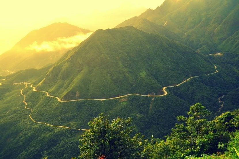
The pass is about 32km and considered to be the longest in Vietnam, but you will probably only notice around 10km of this as you ascend from Son La. Coming from this direction the climb is steady and quite gradual, however, the route down the other side is much steeper. Beware of overheating the brakes. Climbing and descending the slopes with their many bends and deep gorges, amid such magnificent scenery, is an unforgettable trip.

The local government claim there are slopes of between 12 and 19%, which IMHO is outrageous. Having driven it several times, I can say it is steep but maybe not that steep. You also need to take care on the turns as these can be quite small in radius and take you by surprise. Be vigilant for drivers straying out of their lane and slow down so that you can remain in yours.
The highway now is, in fact, a bypass and if you look on the map, you’ll see that the old highway takes a much steeper and winding route. This is the QL6 (cu), which is famed as being the ‘French Highway’ and the one that the prisoners from the Battle of Dien Bien Phu were force-marched back to Hanoi on.

Before, defeating the French in Dien Bien Phu the Vietnamese used this as the main transport and communication route. Back in 1954, the route was not as clear-cut as it is now. So, consider, if you can, what it would be like to haul a 37mm Soviet air defense gun as well as munitions and tonnes of supplies through the thick jungle. It was a well-won fight.
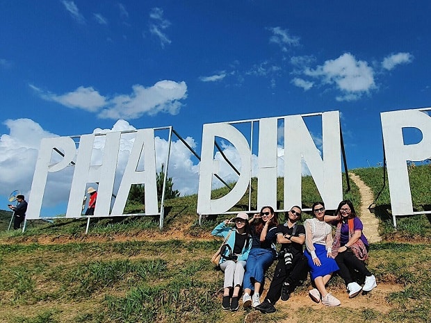
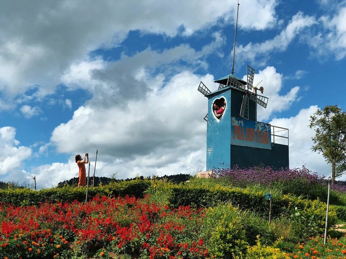
Taking this old route is trickier and more time-consuming, but well worth it as you pass through a piece of living history. You will bypass the modern main road, the traffic as well as the many beauty spots and selfie spots that have been set up for the ‘phuot’ crowd.
The Pha Din pass is almost always covered by clouds but you can often find a spot with a break in the clouds and get to experience the views. Spring is the perfect time to be here as the white plum blossom covers the valley below. There are many small villages in that lie below the pass making for a very scenic setting.

Make a Loop of It
We recommend this route as part of a northwestern loop. You would need around 7 days to do this full loop comfortably and Pha Din Pass would be around the 3rd day of the trip. Riding this on a motorbike is a great experience and for a quality rental, check out RentABike Vietnam.


