How to Use Rentabike Vietnam Maps
Over the years, I have made so many maps. Some of them are for our blogs and many are for customers who rent from us and need directions. I have found that Google Maps is a pretty useful tool for this. Now, I want to share these maps with everyone. For FREE 🙂
What you need to Use Rentabike Vietnam Maps
Whilst you are on the road, you will need a mobile phone with Google Maps and a SIM card with Data that allows you to connect to the Internet.
You can easily buy a Sim card when you arrive at the airport or at many shops all over the country. We suggest getting one at the airport because the sales staff in these booths set up hundreds of Sims every day and they do it quickly and correctly. You can then use Grab to get a taxi 🙂
Expect to pay between 150,000 – 350,000vnd ($6.50 -$15) depending on how much data you need and for how long. It’s a bargain.
The Best Way to Use the Maps
I made these maps to be use on the road. Rentabike Vietnam provides our riders with phone holders and this makes using these maps much easier. You just open the map on your phone and then clip it into the holder.
You can follow the directions by keeping the blue dot (you) on the marked route. Of course, you can take a detour and then go back to the marked route. You do you and have fun 🙂
Using our Maps on a PC / Laptop
You might like to use our maps to get a feel for the locations you plan to visit on your trip. They may help you with your planning and making decisions about where to go and how far to travel in one day. I hope so. When doing this, I imagine that you will be more likely to use a PC or Laptop.
So, to get to our maps, go to our MAPS page.It looks like this:
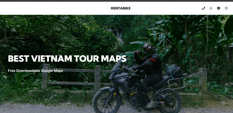
And scroll down to the lists of map links. Here are just a few of the maps. There are more if you scroll down further.
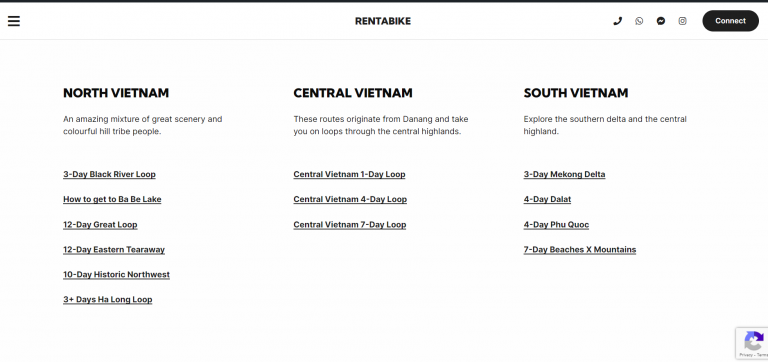
You can click on any of the links to the maps and it will appear.
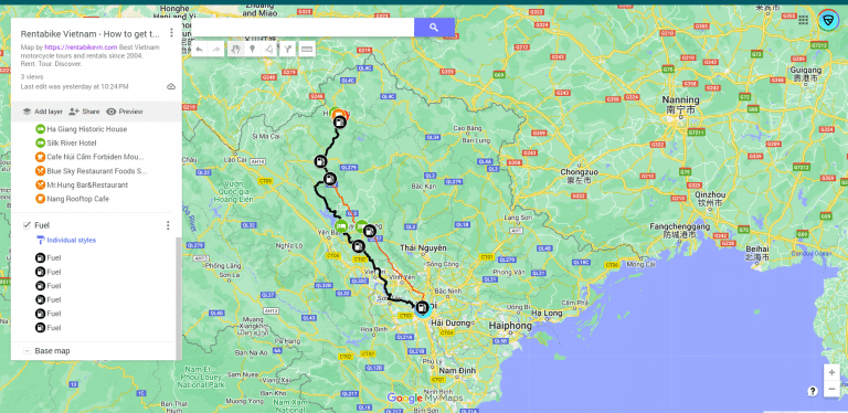
This is our ‘How to get to Ha Giang City’ map.
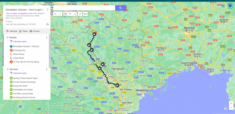
On this map, you can see there are 2 routes to Ha Giang City shown. There is a direct route and a 2-Day route.
You will also see that there are layers in map. This one has: Routes, Services and Fuel. You can view them all by scrolling down the menu on the left-hand-side of the map. Like so.
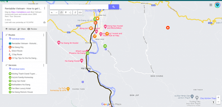
You can also zoom in and out, which enables you to see other marked places near the route.
Using our Maps on a Mobile Phone
First of all, you need to find our website. Easy enough. You simply Google Rentabike Vietnam and we will likely be the top result, or you can use Google Maps App and search for us or find our pin.
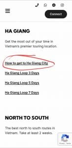
So, to get to our maps, go to our MAPS page.It looks like this:
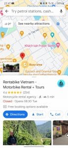


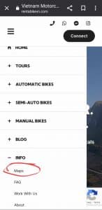
When you are in the Maps Page, you can choose any of the maps. When you click on them they will open the Google Map in the App on your phone. The first map in our list is ‘How to get to Ha Giang‘.
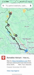
The Map will come up in Google Maps and you will also have access to the legend.
Please note: You can turn layers on and off. In this example, you may not be interested in where the fuel stations are, so you just uncheck that layer.
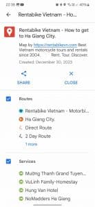
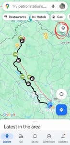
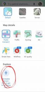
By pressing the Layer Tab in the top right-hand corner you will be able to change the view. You will also see the label for the map and this is where you can turn it off, if you wish.
The Basic Idea
So, the very simple idea is to zoom in and, as you are driving, keep the blue dot on the marked line of your choice.
If you like, you can look at the descriptions of the roads and/or routes that I have put and you may find that I have helped you with some info of how not to miss a turning or an upcoming detour that you might take. I did that more on the ‘How to get to Ba Be Lake’ map.
Give Us Your Feedback
I really hope you like the maps and most of all that they are useful. If you have any ideas of how to improve these, let me know. I will consider updating them.
